Dosiero:Mapoflughaveno.jpg: Malsamoj inter versioj
Jump to navigation
Jump to search
e (+kat) |
e (ve) |
||
| Linio 2: | Linio 2: | ||
* [[:File:103 UK simb KOLORA def-300.png|logotipo]] | * [[:File:103 UK simb KOLORA def-300.png|logotipo]] | ||
* [http://www.openstreetmap.org/directions?engine=graphhopper_foot&route=38.7690%2C-9.1295%3B38.7525%2C-9.1589 itinero] | * [http://www.openstreetmap.org/directions?engine=graphhopper_foot&route=38.7690%2C-9.1295%3B38.7525%2C-9.1589 itinero] | ||
| − | * [https:// | + | * [https://www.google.pt/maps/@38.7605687,-9.1450591,4852m/data=!3m1!1e3?hl=eo fona sputnikfoto] |
[[Category:UK103]] | [[Category:UK103]] | ||
Nuna versio ekde 10:40, 9 aŭg. 2017
Inkl:
Dosiera historio
Klaku daton/tempon por vidi la dosieron kia ĝi aspektis tiam.
| Dato/tempo | Bildeto | Dimensioj | Uzanto | Komento | |
|---|---|---|---|---|---|
| nuna | 12:49, 5 aŭg. 2017 | 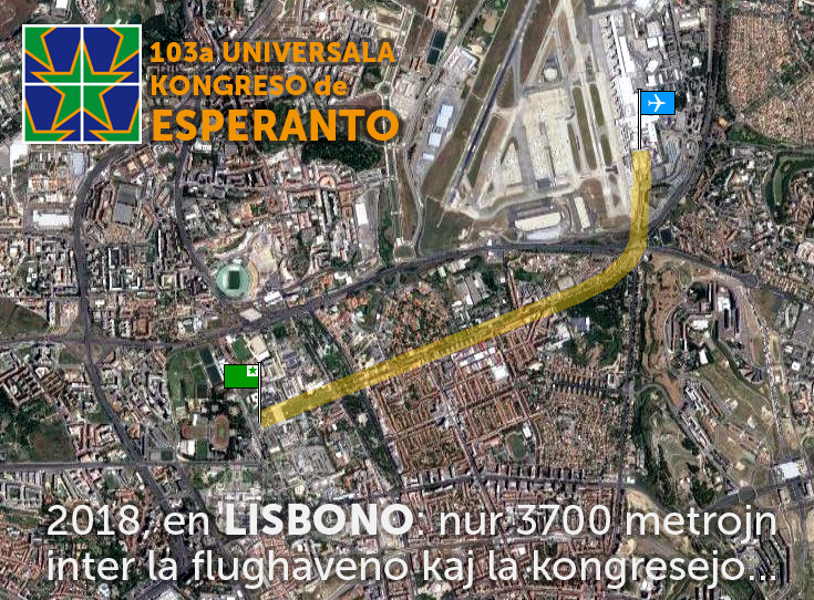 | 735 × 542 (295 KB) | Tuvalkin (diskuto | kontribuoj) | Inkl: * logotipo * [http://www.openstreetmap.org/directions?engine=graphhopper_foot&route=38.7690%2C-9.1295%3B38.7525%2C-9.1589 itinero] * [https://l.facebook.com/l.php?u=https%3A%2F%2Fwww.google.pt%2Fmaps%2F%4038. |
- Vi ne povas superskribi ĉi tiun bildon.
Dosiera uzado
Neniu paĝo ligas al ĉi tiu dosiero.